Herzlich willkommen am Institut für Archäologie und Kulturanthropologie der Universität Bonn
Im Institut für Archäologie und Kulturanthropologie sind die archäologisch und kulturanthropologisch arbeitenden Disziplinen vereint, die in ihrer chronologischen und regionalen Breite - von der Steinzeit bis in die Neuzeit, von Südamerika bis Zentralasien, mit einem Schwerpunkt auf dem gesamten Mittelmeerbereich - einen in Deutschland einmaligen Verbund darstellen. Das Institut für Archäologie und Kulturanthropologie versteht sich als eine Einrichtung, in der die Entstehung und kulturelle Diversität menschlicher Gesellschaften und Kulturen erforscht und in der Lehre vermittelt werden.
Das Institut verfügt mit dem Akademischen Kunstmuseum, dem Ägyptischen Museum und der Bonner Amerikas-Sammlung über eine einzigartige institutseigene Museums-Infrastruktur in Deutschland.
Bei uns sind die Fächer Ägyptologie, Altamerikanistik und Ethnologie, Archäologische Naturwissenschaften, Christliche Archäologie, Klassische Archäologie, Kulturanthropologie/ Empirische Kulturwissenschaften sowie Vor- und Frühgeschichtliche Archäologie vertreten.
931
Eingeschriebene Studierende 2022
13
ProfessorInnen
3
Institutseigene Museen
Die Abteilungen des Instituts
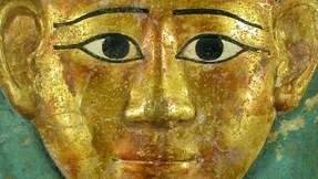
Abteilung für Ägyptologie
Die Abteilung befindet sich in der Brühler Straße 7 in 53119 Bonn.
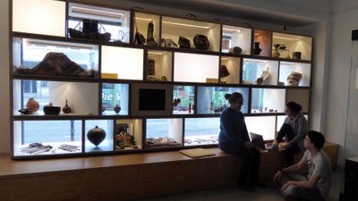
Abteilung für Altamerikanistik und Ethnologie
Die Abteilung befindet sich in der Oxfordstraße 15 in 53111 Bonn.
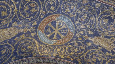
Abteilung für Christliche Archäologie
Die Abteilung befindet sich in der Rabinstraße 8 in 53113 Bonn.

Abteilung für Empirische Kulturwissenschaft und Kulturanthropologie
Die Abteilung befindet sich Am Hofgarten 22 in 53113 Bonn.
Abteilung für Klassische Archäologie
Die Abteilung befindet sich in der Römerstraße 164 in 53117 Bonn.
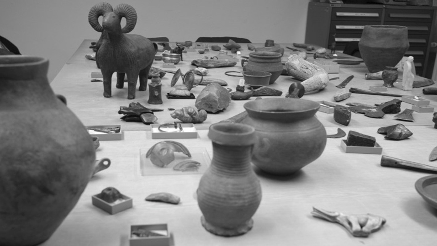
Abteilung für Vor und Frühgeschichtliche Archäologie
Die Abteilung befindet sich in der Brühler Straße 7 in 53119 Bonn.
Forschungszentren des Instituts und der Philosophischen Fakultät
Bonn Center for ArchaeoSciences
Bonn Center for Dependency and Slavery Studies
Bonn Center for Digital Humanities
Organisation des Instituts

Geschäftsführung und Vorstand
Das Institut wird durch den/die Geschäftführende/n Direktor/in und den/die stellvertretende/n Geschäftsführende/n Direktor/in geleitet. Über alle wichtigen Themen berät der Vorstand des Instituts, der sich aus den ProfessorInnen, den MittelbauvertreterInnen und studentischen VertreterInnen zusammensetzt.

Evaluations-Projektgruppe
Die Evaluations-Projektgruppe (EPG) koordiniert die Evaluationen der Lehrveranstaltungen des Instituts.

Gleichstellung am Institut
Am Institut für Archäologie und Kulturanthropologie wird Gleichstellung und Diversität gefördert.